Photo: Carol M. Highsmith, 2014, Library of Congress Prints & Photographs Division, no known restrictions
On Monday the Supreme Court lifted the order that had stopped the Trump administration from building a border barrier through a remote stretch of Big Bend National Park in West Texas. Judge Kathleen Cardone had blocked construction in October. The justices granted the government's emergency request, saying it was "exceedingly likely to prevail" on its argument that a 1996 immigration law kept her court from hearing the case at all. Justice Ketanji Brown Jackson was the only one to note that she would have said no.
The fight has made odd allies. The plaintiffs include the Center for Biological Diversity, a local river guide and a group called the Friends of the Ruidosa Church, and some of the loudest objections have come from members of the president's own party. Cardone's own numbers are worth keeping in mind: the Big Bend sector covers more than a quarter of the border with Mexico and accounts for somewhere between 0.3 and 2.2 per cent of migrant apprehensions.
Most of the coverage I have read leaves out that the park was founded on the opposite idea. For most of its history, the people who built Big Bend talked about the river as the middle of the park, not the edge of it.
A sheriff and a newspaperman
The park started with Everett Townsend, a former customs agent and county sheriff who knew the country well before he went to the Texas legislature in the 1930s. He found an ally in Amon Carter, the Fort Worth publisher, who had money, a newspaper and no shyness about using either. In 1933 they got the area set aside as Texas Canyons State Park. A few months later it was renamed Big Bend State Park, which was a better name and also more honest about where the river went.
A state park was never the goal. On June 20, 1935, Franklin Roosevelt signed a bill authorizing a national park in the Big Bend. The catch, which was standard at the time, was that Washington would not buy the land. Texas would have to deliver it. (Congress had done the same to Virginia over Shenandoah and to Tennessee and North Carolina over the Great Smokies a few years earlier, so Texas could hardly claim to have been singled out.)
Texas buys a desert
Photo: Carol M. Highsmith, Library of Congress Prints & Photographs Division, no known restrictions
That took seven years and a war. In 1942 the state put up $1.5 million to buy roughly 600,000 acres from private owners, ranchers and mining claims and all. In September 1943 Texas handed the deed to the federal government.
The ceremony came later, and the date is one I find hard to read without wincing. Amon Carter presented the deed to Roosevelt at the White House on June 6, 1944. That was D-Day. I have no idea how much of the president's attention the desert got that afternoon, and the park service's own account does not say. Six days later, on June 12, Big Bend National Park was officially established. Its first headquarters was in the old Civilian Conservation Corps barracks in the Chisos Basin, and in its first year it had 1,409 visitors.
Roosevelt's letter to Mexico
The international idea had been there from the start. By 1936 there was an International Park Commission, and the park service still keeps a photograph of Townsend standing with its members. The canyons on the Mexican side, in Chihuahua and Coahuila, are part of the same geology and the same desert.
On October 24, 1944, four months after the park opened, Roosevelt wrote to the Mexican president, General Manuel Ávila Camacho. He said the work at Big Bend would not be complete until the park area "on both sides of the Rio Grande forms one great international park." It is a short letter and a friendly one. Mexico was a wartime ally, and the two governments were on unusually good terms.
Nothing came of it for half a century. The war ended, Roosevelt died the following April, and the idea went into the files, where it was taken out and dusted every decade or so.
Mexico does its half
The Mexican side moved eventually. On November 7, 1994, President Carlos Salinas de Gortari signed decrees protecting two large areas across the river: Maderas del Carmen in Coahuila and the Cañón de Santa Elena in Chihuahua. Big Bend staff had visited Coahuila as guests of the state governor in 1988, and these new reserves were, in effect, the other half of the park Roosevelt had described. They were never joined to Big Bend in law, but on a map the protected land runs straight across the water.
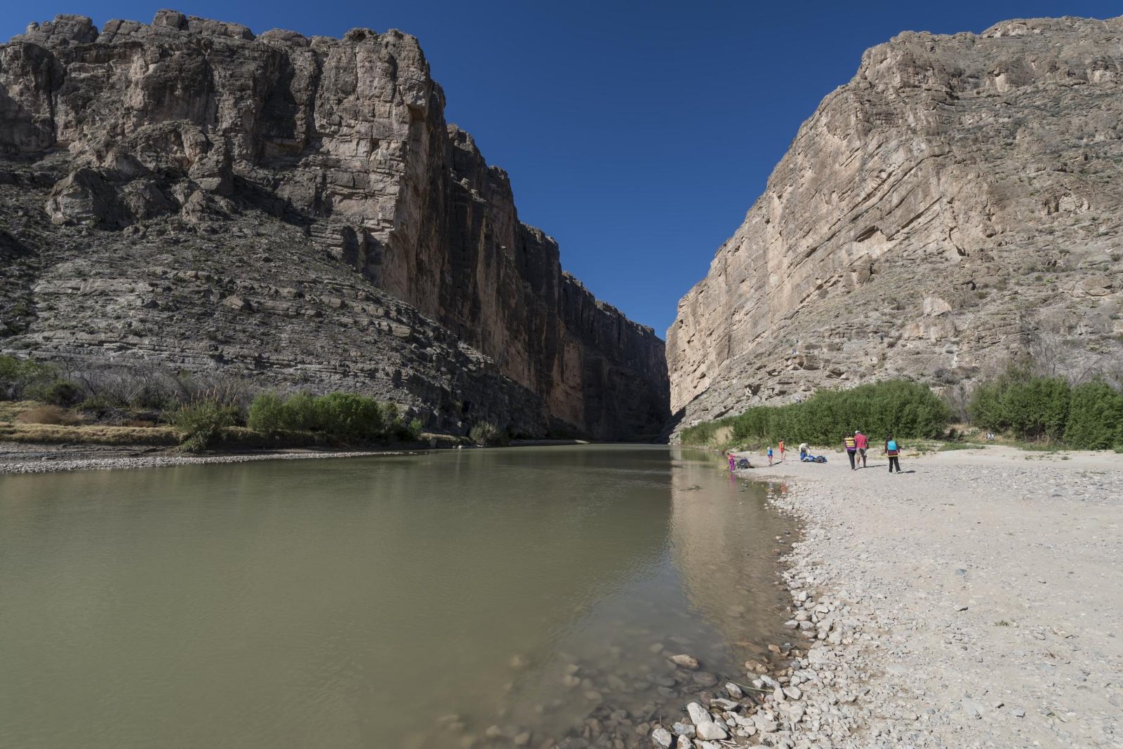
The border itself kept getting harder in the meantime. The informal crossing at Boquillas, where visitors used to be rowed across to the village for lunch, was shut in 2002 after the September 11 attacks and only reopened as an official port of entry in 2013. Anyone who has stood in Santa Elena Canyon knows how strange it is to call that place a frontier. The walls rise straight up on both sides, Mexico on the left and Texas on the right, and the river between them is often narrow enough to throw a stone across. The boundary has run down the middle of it since the Treaty of Guadalupe Hidalgo in 1848.
Where the line goes now
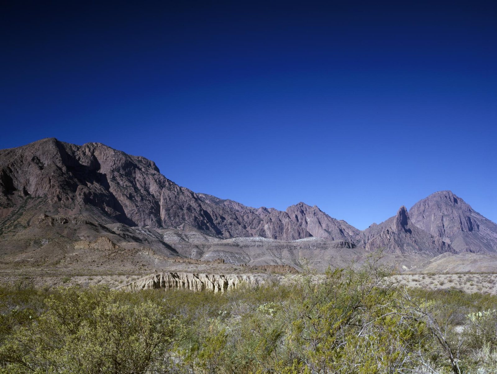
The park covers about 801,000 acres (the park service's figure is 801,163, which is the sort of precision you get when land is bought ranch by ranch) and shares 118 miles of border with Mexico, all of it along the river. The lawsuit was about waivers that let the government skip the Endangered Species Act, the National Environmental Policy Act and the National Historic Preservation Act while it builds. Those are the laws a national park normally lives by, and the court did not decide whether the waivers are wise, only that a district judge probably could not stop them.
The opponents' case leans heavily on wildlife. The park's mountains and desert are home to endangered species such as the Mexican long-nosed bat, which nobody has asked which country it belongs to. The administration, for its part, describes the Big Bend as a route for irregular crossings and drug trafficking, and for now the administration is the side that gets to build.
The case itself is not over. Cardone's court still has it, the Supreme Court's order only lifts the injunction while the litigation continues, and nobody in the reporting I have read has said how much of the barrier will actually be in the park or what it will look like from the canyon floor.
Enjoyed this story?Get a new one every day on social.