Afghanistan's Road to China Ends at a Line Two Empires Drew in 1895
In August 1891 a 28-year-old British officer, Captain Francis Younghusband, was camped at Bozai Gumbaz, a scatter of tombs on a high grassy valley floor in the Pamirs, when a party of Cossacks rode in. Their commander, Colonel Ionov, was polite. By Younghusband's own account the two men had dinner together and talked for some time. Then Ionov came back and told him, still politely, that he was standing on Russian territory and would have to leave. Younghusband protested, and left.
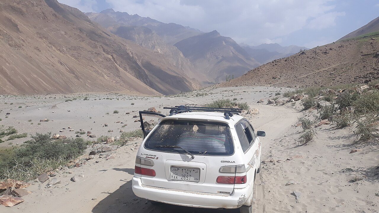
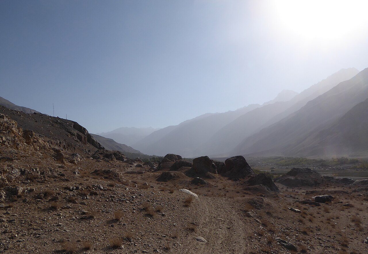
London complained, and the Russians eventually expressed regret. But the incident frightened the government of British India, because it showed how little separated the Tsar's outposts from the passes into Kashmir and Chitral. The answer, worked out over the next four years, was a strip of Afghan territory about 350 kilometres long and as little as 13 kilometres wide, wedged between the two empires so that they would never share a border. It is called the Wakhan Corridor, and this autumn the Taliban finished a road up it to China. China has not opened the other end.
How Britain and Russia invented a country's panhandle
Through most of the nineteenth century, Russia advanced south through Central Asia and Britain watched from India, each convinced the other meant to keep going. The contest, later called the Great Game, was mostly played on maps of places neither side had properly surveyed. The Pamirs were the last blank patch, high plateaus where the borders of Afghanistan, China, Russian Turkestan and British India might or might not meet.
In 1873 London and St Petersburg agreed that the upper Oxus, the river now called the Panj, would mark Afghanistan's northern limit, and that Wakhan, the valley along it, belonged to the Afghan emir. That left the eastern end vague, which is how Colonel Ionov could patrol it in 1891.
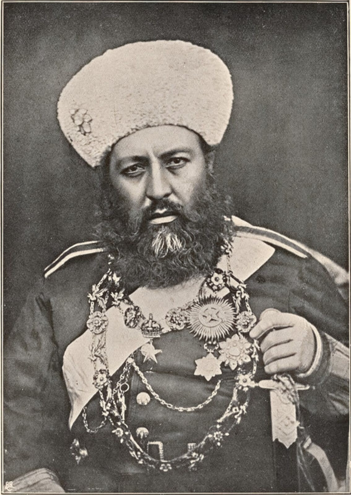
The Afghan ruler, Abdur Rahman Khan, did not much want Wakhan. It was poor and remote, its people owed Kabul very little, and holding it meant guarding a frontier against Russia for Britain's benefit. Under the Durand agreement of 1893, which also drew the line that is still the disputed Afghan border with Pakistan, he accepted it, and Britain raised the annual subsidy it paid him. Whether the extra money was the price of Wakhan in particular, or of the Durand settlement as a whole, depends on which historian you ask. I lean towards the second, but the amir himself was in no doubt that he had been handed somebody else's problem.
Ninety miles, three delegations and two new names
The final piece came in 1895. An Anglo-Russian agreement that March set up a joint boundary commission, and in June the British party left India under Major-General M. G. Gerard, with the surveyor Thomas Holdich among them. They met the Russian delegation, led by General Povalo-Shveikovsky, the governor of Ferghana, on the shore of a Pamir lake on 22 July. An Afghan delegation under Sardar Ghulam Mohiuddin Khan, governor of Faizabad, arrived a few days later.
Over the next two months the three groups worked along about ninety miles of the line, signing protocols as they went. In a spirit of imperial good manners, the British and Russians agreed to call the lake Lake Victoria and the range beside it the Nicholas Range, one name for each sovereign. Nobody asked the Kyrgyz and Wakhi herders what they called them. The work ended on 14 September 1895, and the official report, published in Calcutta in 1897, ran to a hundred pages with 39 pages of photographs.